Get the comprehensive Getting Started Guide:
Satellite Imagery Lowrance Off Road GPS Trail Maps

Get the most out of your off-road GPS unit with our premium selection of satellite and aerial imagery GPS maps, designed specifically for Lowrance off-road GPS devices. Our GPS maps offer exceptional detail with up to 0.5-meter/pixel resolution, showcasing highways, residential streets, BLM and USFS routes, 4x4 trails, points of interest, recreation areas, campgrounds, and more.
Our satellite imagery GPS maps provide unparalleled accuracy and reliability, enabling you to explore even the most remote areas with confidence. Whether you're looking for topographic GPS maps for hiking and camping or terrain GPS maps for off-road racing, our GPS maps deliver the exceptional detail and clarity you need to take your off-road adventures to the next level.
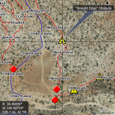
Area BFE - Utah Off Road Lowrance GPS Map for Lowrance Elite HD & HDS *FREE DOWNLOAD*
AreaBFE is a 320 acre recreational park for many diff..
$0.00
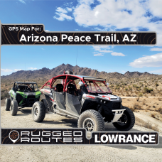
Arizona Peace Trail GPS Map for Lowrance Off Road GPS
*Includes Satellite Imagery of the entire AZPT including areas t..
$99.99
Arizona Strip / Grand Canyon - Lowrance Off Road GPS Map
Rugged Routes GPS maps are beyond average. With added data in ma..
$99.99
Baja Peninsula, Mexico - Lowrance Off Road GPS Map
Baja California, Mexico GPS Map for Lowrance Off Road GPS: This ..
$149.99
Calico Ghost Town GPS Map for Lowrance Off Road GPS
Explore the beauty of Calico Ghost Town and the surrounding area..
$0.00
Custom Satellite Imagery Lowrance Off Road GPS Maps
*Available within Lower 48 States Only**Satellite Imagery O..
$380.00
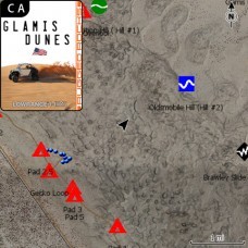
Glamis Dunes - Lowrance Off Road GPS Map
Experience the thrill of off-roading in Glamis Dunes, California..
$99.99
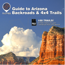
Guide to Arizona - Lowrance Off Road GPS Map
This SD card includes high definition aerial imagery of trails f..
$119.99
Guide to Colorado - Lowrance Off Road GPS Map
**For Lowrance HDS & Elite FS GPS Units** This SD card incl..
$119.95
Guide to Moab, UT - Lowrance Off Road GPS Map
This SD card includes high definition aerial imagery of Moab Uta..
$119.99
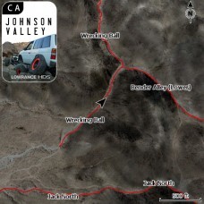
Johnson Valley - Lowrance Off Road GPS Trail Map
Experience the exhilarating off-road terrain of Johnson Valley, ..
$99.99
Ocotillo Wells - Lowrance Off Road GPS Map
Discover the thrill of off-roading in California's Ocotillo Well..
$99.99
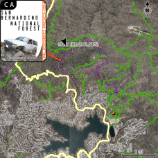
San Bernardino National Forest - Lowrance Off Road GPS Map
The San Bernardino National Forest Lowrance GPS OHV GPS map incl..
$99.99
Stoddard Wells, CA - Lowrance Off Road GPS Map
Explore the Stoddard Wells OHV Area located in Barstow, CA, with..
$99.99

