
All posts by steven

Enable Satellite Imagery on HDS Live Off Road GPS

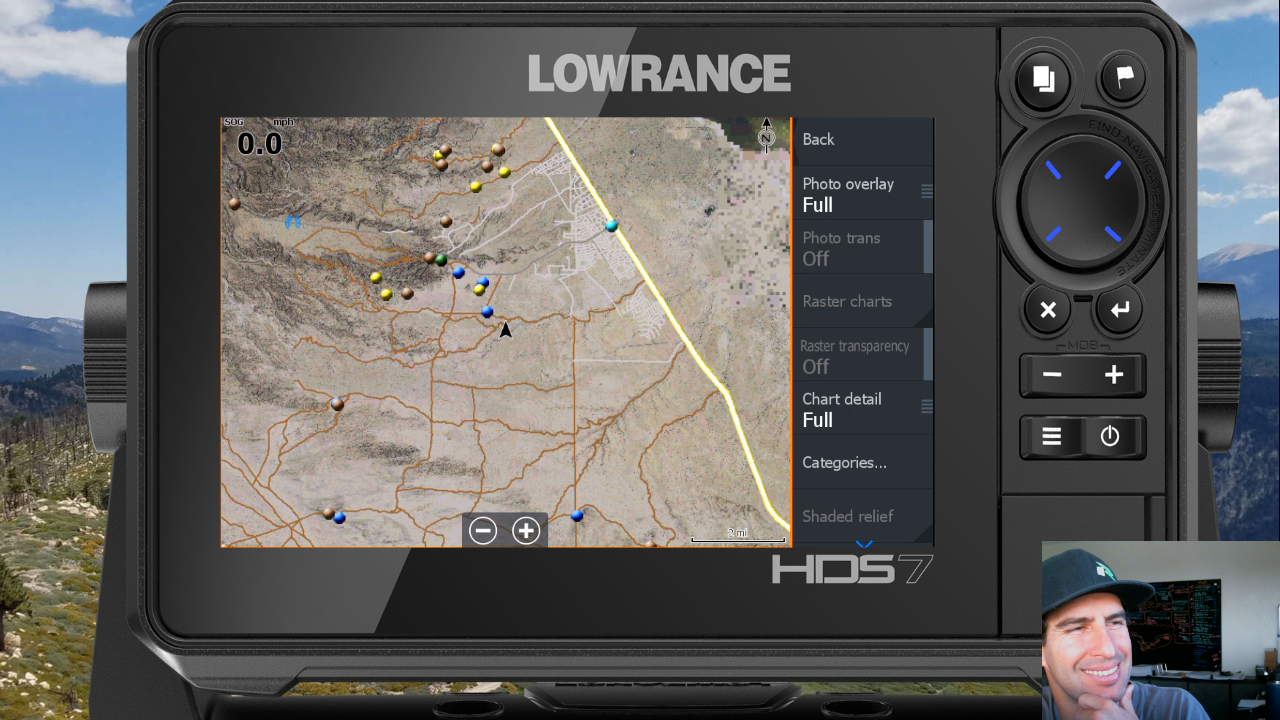
How to Enable Satellite Imagery with Rugged Routes Maps on Lowrance HDS-7 Live for Off Road

A number of customers have reached out to me stating that although the past Lowrance off road videos are helpful, they have had difficulty following the steps due to the latest softwre updates in the HDS Live and Elite FS GPS units. I have listened and I’m starting to deliver updated videos based on the HDS Live series of off road gps units.
The first one is posted below covering the latest steps on how to enable satellite imagery on your Lowrance GPS.  There will be more to follow so you will want to subscribe: https://www.youtube.com/c/Ruggedroutesmaps?sub_confirmation=1
If you have any input on what I should include in future videos, please post in the youtube comments.

https://www.youtube.com/watch?v=f5fqBqQ5Igg


US Forest Service Lowrance GPS Topo Maps – Now Available

Want to get outdoors but need to beat the desert heat? Head to the forest!
United States Forest Service FSTopo maps are 1:2400 scale maps with coverage foreset service areas and is available on a state by state basis for the central and western states.
Compatilbe with HDS (Gen2 and Newer) and Elite (Ti & FS) series GPS Units.

Maps Include:
-Roads & Highways
-Forest Service Roads & Trails
-Hiking Trails
-Elevation Contours / Topo Lines
-Forest Boundaries
-Campgrounds / Campsites
-And more…

To buy now, visit: https://ruggedroutes.com/National-Forest-FSTopo-Maps-Lowrance-GPS-Units.html
Or
Check out the intro video below for more info:
https://www.youtube.com/watch?v=SFe2UY0_FnM

https://www.youtube.com/watch?v=SFe2UY0_FnM